Your shopping cart is empty!
Atlases, Maps
-
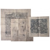
In addition, there is a map of the military training area Baumholder.42.00€ 60.00€
-
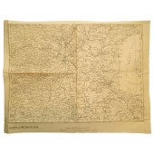
Szombathely map (Hungaria). Südhälfte zu Blatt Wien-Nr.: 34/48, size: 42x33cm17.50€ 25.00€
-
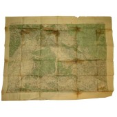
Panovec - Slovenia map with HQ markings K.u.K Kriegsvermessung Isonzoarmee Nachträge 6.7.1908, abgeschossen am 7 Juli 1917. K.u.K Abschnittskommando III Art.Na. Zentrale size: 85x66cm35.00€ 50.00€
-
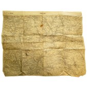
Austro-Hungarian map of the Galizien 1:400, K.u.K Feldkanonenregiment № 14, 2. Batterie, size: 50x40cm24.50€ 35.00€
-
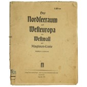
WW2 German patriotical map. From the issue of " Bridge from the frontline to home". Western Europe in war with markings from OKWehrmacht. Der Nordseeraum und Westeuropa mit Westwall und Maginot-Linie. "Die Brücke zwischen Front und Heimat" unentbehrliche Landkarten zum ZeitgeschehenVerlagsanstalt List und von Bressensdorf, Leipzig. Size: 105x86cm28.00€ 40.00€
-
Pre war Austrian map: Klattau, Linz, Salzburg. Druck und Verlag: Kartographisches, früher Militärgeographisches Institut in Wien Size: 115x75cm21.00€ 30.00€
-
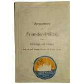
HAPAG cruise map. Verzeichnis der Fremden-Plätze, deren Höhenlage und Hinweis wo sie auf dieser Karte zu finden sind. Touristenkarte der Schweiz. Meiss und Co A-G. Schweiz. Reise-Agentur "Lloyd" Zürich. Size: 47x35cm7.00€ 10.00€
Showing 1 to 7 of 7 (1 Pages)


